Consulting
Remote Sensing for Carbon Forestry
Measure carbon stock. All required remote sensing work for developing carbon forestry projects according to Verra, Gold standard, and Plan Vivo.


Your requirements
How to get started?
Forest carbon standards such as Verra, Gold standard, and Plan Vivo are used to generate carbon credits. Depending on the project type, e.g. reforestation, improved forest management, and avoided deforestation, there are specific requirements for remote sensing and monitoring. We help you to answer the following questions.
1. Which standard for what project type?
2. What is the baseline and historical deforestation?
3. What is the carbon potential?
4. How to monitor changes over time?
Service
All remote sensing work for your project
Together with our clients we select the appropriate methodological frameworks, procure the necessary data, and conduct the required analysis.
Methodology selection
Remote sensing analysis
Continous monitoring
Remote Sensing
Forest Change Detection
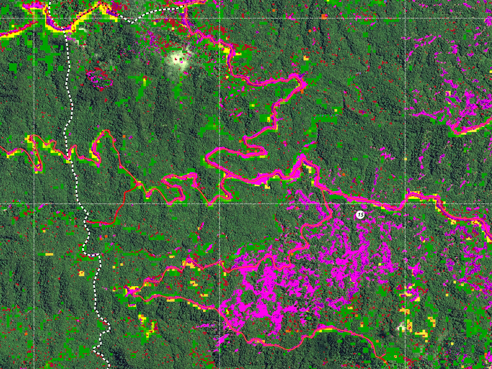
Example of forest classification maps and forest loss detection.
Frequently Asked Questions
There is no one standard to be recommended. The selection of a carbon certification standard depends on the recognition of a respective standard, project type, location, available budget, expertise, and addressed markets for carbon offset sales.
Yes. The generation of carbon credits can help to create the required project funding, but until certification, it can take months and even years and considerable resources. We would recommend involving an expert for the remote sensing work as well as for navigating the certification process internally.
Contact us
Ready to get started?
Write us a message or speak with one of our experts.