Forest management maps

Category
Forest management, Remote sensing
Country
Malaysia
Date
2017

Various forest management maps

Large-scale land assessments require scalable and cost-effective solutions. Satellite and application of smart algorithms have made such analysis more accessible.

A project site is analyzed for various reasons. The base map provides an overview of the natural conditions, the topographic map is used to analyze the terrain for access planning, a slope steepness map identifies sites that are not accessible for forest management activities, and the degradation map might appoint sites for regeneration.

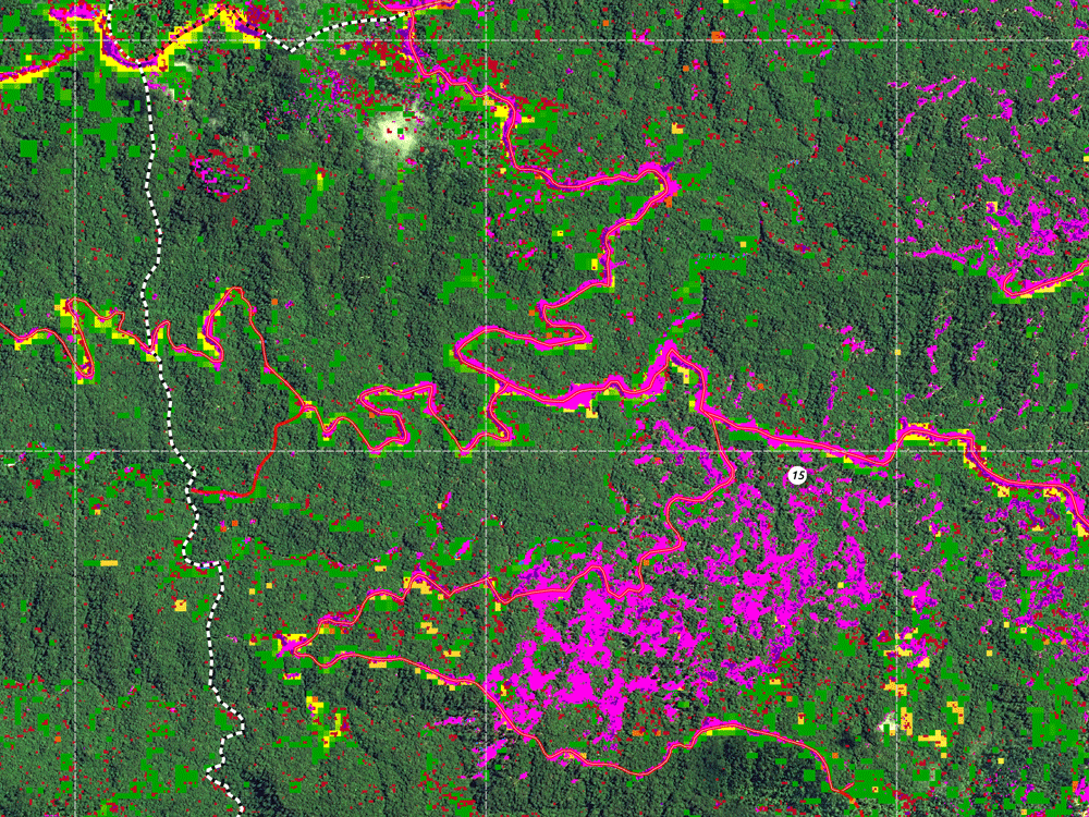
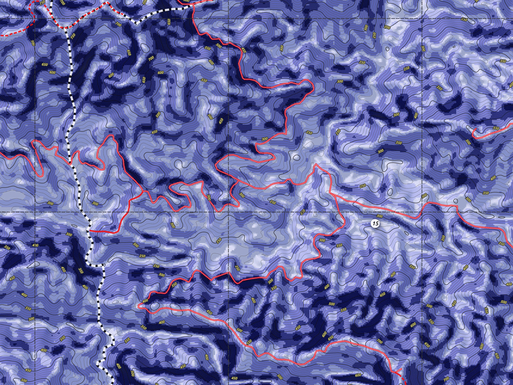
The first step is to get the big picture of your forest operations or conservation projects. Details follow after initial analysis.

Stefan Haas
CEO and Founder OpenForests

Example of various possible forest management maps.

Contact us

Ready to get started?

Write us a message or speak with one of our experts.