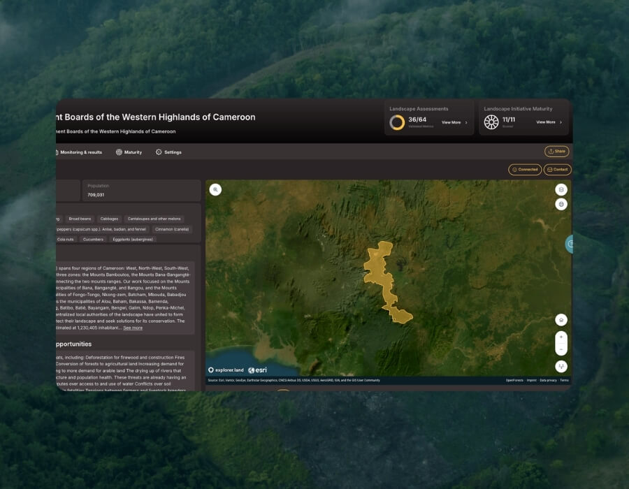
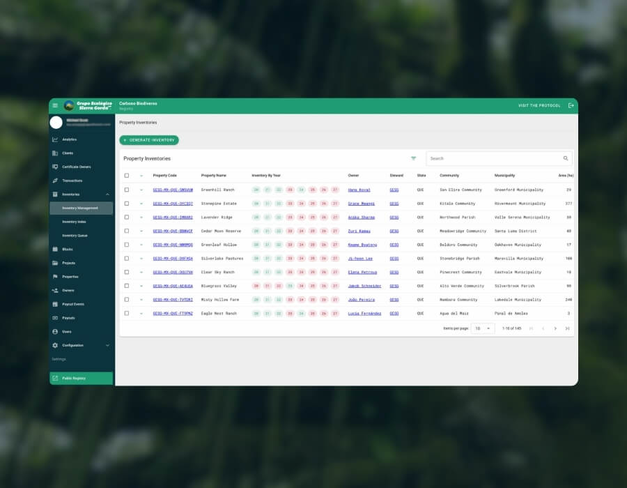
Nature-based projects often fail to secure funding not because of poor work, but because they can’t demonstrate evidence. We help make impact transparent.
Point cloud · tree heights Plot 4 · illustrative data
Canopy height0–24 m
Illustrative data. Tree points over a project boundary, coloured by canopy height.
Organisations we have worked with
01 · Assess and design
Clarity before any tool is deployed
Where is your project? What do you measure today? Where are the gaps between what you claim and what you can prove? We audit your data, map your stakeholders and co-design the monitoring and reporting architecture that fits.
When · At project launch, or when entering a new funding cycle
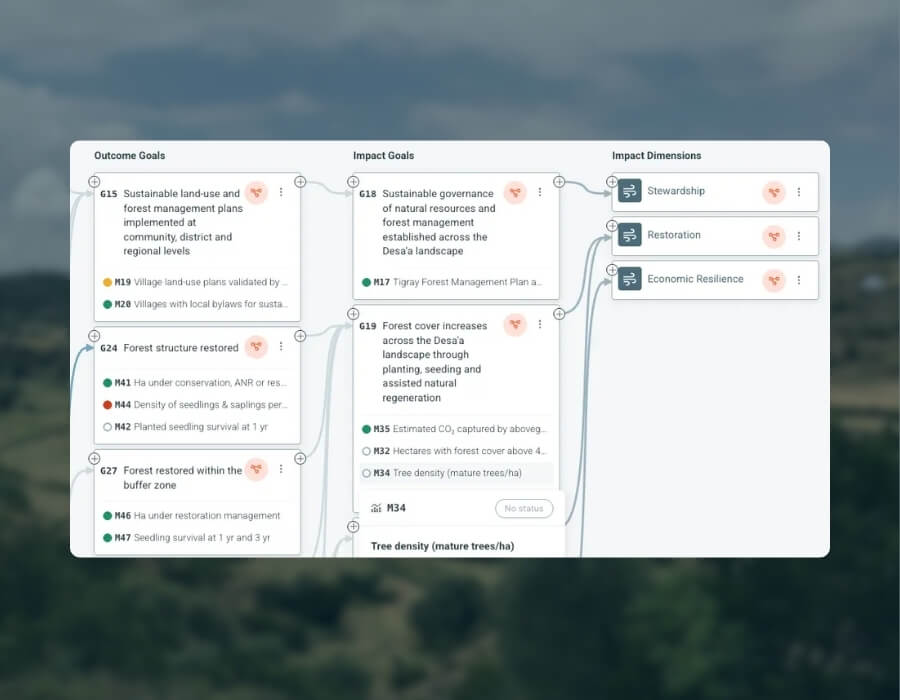
Theory of Change
A logic model that connects your activities to measurable, verifiable outcomes.
Audit
A structured review of your data flows, monitoring methods and impact claims: what’s solid, what’s missing, and what’s at risk in a funder review.
Data mapping
An inventory of what you collect, how and how often, mapped to the indicators your stakeholders care about.
Solution design
The technical and operational blueprint, matched to your scale and team.
Most clients come with constraints: limited bandwidth, legacy systems, complex multi-partner set-ups. We configure explorer.land, extend what you already use, or build from scratch, whichever fits your data, partners and timeline.
When · In parallel with project implementation
Software development
Custom features, data pipelines and platform extensions for your monitoring and reporting needs.
Integration
Field data apps, satellite providers, certification registries and donor reporting systems, connected across your existing stack.
Data onboarding
We structure, clean and import your historical and field data, so your project starts from a solid, verifiable baseline.
Custom solutions
Not every project fits a template. We scope, design and build what yours needs, on whatever foundation makes sense.
03 · Monitor and report
Impact is a continuous record, not a moment
This phase generates the ongoing, spatially grounded evidence that funders, certifiers and communities can check.
We combine satellite data, field verification and expert analysis to keep your monitoring rigorous and your reporting credible, across every reporting cycle.
When · Ongoing, typically annual cycles, sometimes quarterly
Impact monitoring
From indicator selection to data collection, we turn your impact logic into a monitoring system that holds up when funders and auditors ask questions.
MEL consultancy
Monitoring, evaluation and learning is an organisational capability, not a document. We work with your team on workstreams, roles and processes.
Remote sensing
Remote sensing indicators calibrated to your information needs and your project area.
Geospatial consultancy
Spatial analysis for site delineation, carbon boundary validation, biodiversity hotspot mapping and EUDR supply chain traceability.
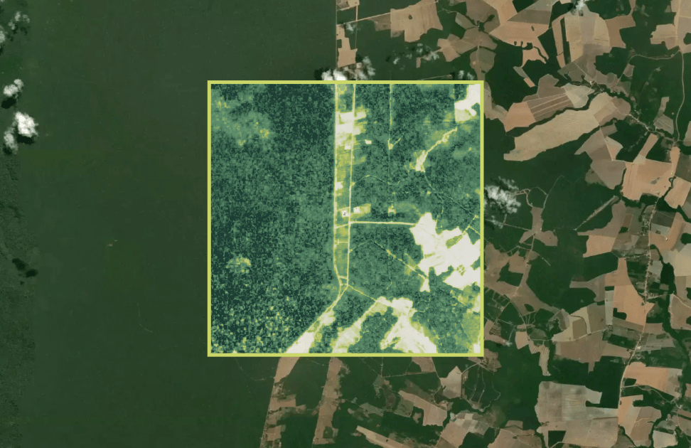
Forest cover over your project boundaryForest coverProject boundaryIllustrative
Forest cover over one project boundary. We calibrate indicators to your project before you report on them.
 Book a call