
Map. Monitor. Report.
Our platform explorer.land turns nature project claims into spatially continuous, verifiable evidence.
PLATFORM ARCHITECTURE
One source of truth
Most nature monitoring tools give you a snapshot. explorer.land gives you a continuously updated, geo-anchored record that funders, regulators, and communities can trust. No black boxes. No annual PDFs. Just verifiable proof.
Built for NGOs, project implementers, corporate ESG teams, foundations, and institutional clients who need to go beyond claims.
01
Map
02
Monitor
03
Report
01. MAP
Every project, precisely located.
Restoration and conservation projects are place-based by nature. explorer.land gives each project a permanent, geo-anchored spatial identity — boundaries, parcels, communities — maintained as a living record.
- Project boundaries: Draw directly on the map or upload geospatial files in any standard format.
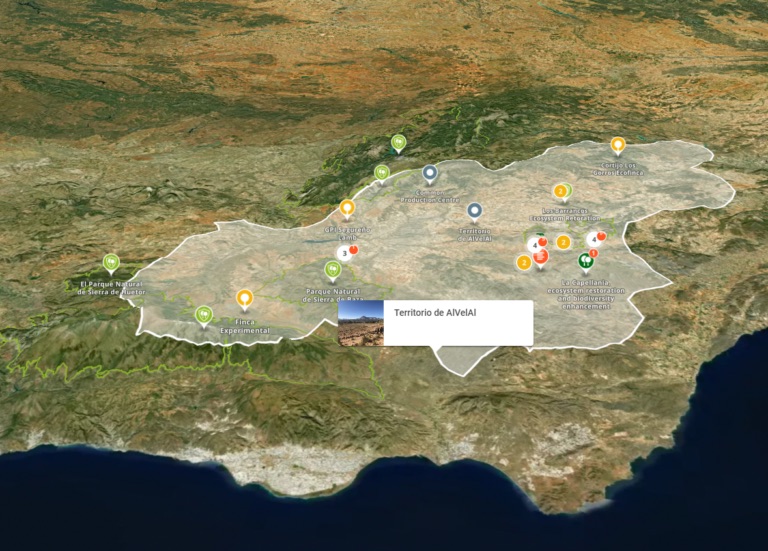
- Landscape view: Go beyond project boundaries. explorer.land aggregates multiple sites and partners into a single, territory-wide spatial view of your landscape.
- Embedding: enrich your projects webpages with interactive map, in a simple click.
02. MONITOR
Monitor real change, at every step.
Impact happens in space and time. This phase is where your project generates the ongoing, spatially-grounded evidence that funders, certifiers, and communities can trust.
We combine satellite data, field verification, and expert analysis to keep your monitoring rigorous and your reporting credible — across every reporting cycle, every year.
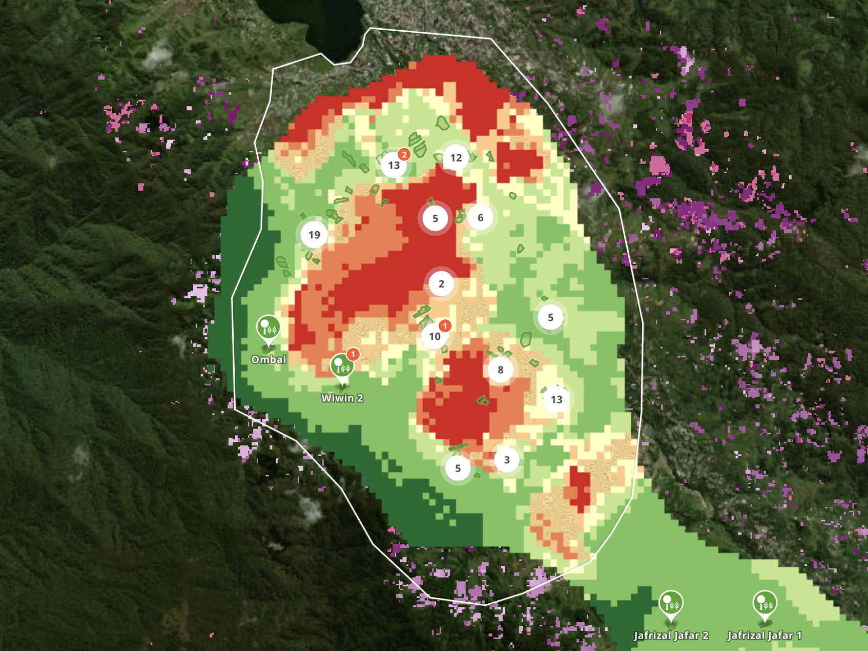
- Data layers: forest cover change, fire alerts, deforestation alerts, biodiversity intactness, land use classification, and more. Your project location becomes analytically rich, not just visually present.
- Impact Dashboard: from activity to outcome to impact. Monitor every activity and track how activities create synergies
- Timeline: Satellite archive depth. Every new project starts with a decade of spatial context, powered by NICFI PlanetLabs and ESRI Wayback.
03. REPORT
Reports your stakeholders can trust.
Evidence makes your impact credible. explorer.land generates automated geo-referenced reports that give funders, partners, auditors and communities clear, verifiable information of what’s happening on the ground. No manual data gathering and report writing necessary.
- Stakeholders report: Generate structured, shareable reports that give funders, partners and auditors exactly the evidence they need, in a format they can act on.
- Sponsor map:Give your funders and partners a branded, dedicated map view that makes their contribution visible, traceable, and worth sharing.
- EUDR ready:Meet the European Union Deforestation Regulation's geo-referencing and due diligence requirements with spatial evidence that's continuously updated and audit-ready.
Trusted by leading organizations
explorer.land has been pivotal in our restoration work and m&e! 💚🌳
Greenpop
Greenpop's Team
The best thing that has happened to me in 2025 is to start working with OpenForests.
ARARA
Rob de Laet, Project Lead
Estimados amigos, mucho apreciamos nuestra alianza, lo que hemos construido juntos, asì que, ¡Salud por lo que està por venir¡, con todo el ànimo, juntos somos una ola. Todo el èxito, el bosque con nosotros, somos el equipo del Planeta.
GESG
Martha "Pati" Ruiz Corzo, General Director
We truly appreciate the collaboration and what we’ve been building together over time — especially the trust and shared learning behind it.
Sustainable Seeds GmbH
I really love the mobile UI! I know that challenge from Terrastories, and I think you’ve done an excellent job approaching it. I played around with the page and map, and as before, experienced that everything is as intuitive as I expect it to be. Really great stuff!
Amazon Conservation Team
Rudo Kemper, Manager, Mapping & Programs Support
An important part of my role at Greenpop is to authentically and transparently communicate the impact of our work to our donors. explorer.land has helped me visually communicate our work. It has combined many of the goals we have for project communications into an easy-to-use platform. The service we have received from the explorer.land team has been exceptional.
The GreenPop Foundation
Carla Wessels, Partnerships & Communications
ReWild Africa is a storytelling company that sheds light on solutions to ecological restoration. With OpenForests explorer.land we found an incredible valuable map-based tool to connect all story elements, including the films we are producing to a specific project location. This way we enable our clients to tell engaging and transformative stories in a transparent way.
ReWild Africa
Samuel Chevallier, Co-Founder and Director
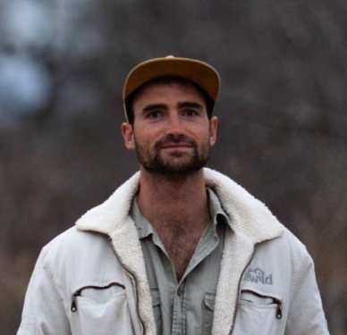
Since engagement in explorer.land, potential clients, and partners are contacting us. It is a wonderful platform with a super-wide network of potential clients and partners. It has helped us a lot in moving forward with our ecosystem restoration activities. Not only because we can prove exactly what we are doing, but it has also put us in contact with various international clients and partners. The platform really works for us.
Co2 Operate B.V.
Paul Burgers, CEO
OpenForests’ web map has been a fantastic tool to visualize our reforestation project El Silencio for fundraising.
Fundacion Biodiversa Colombia
Fernando Arbeláez, President
2,000+ projects
From smallholder restoration sites to landscape-scale conservation programmes. Every one geo-anchored, monitored, and visible.
900+ organizations
30+ data layers
Forest cover change, fire alerts, biodiversity intactness, land use classification, and more — overlaid directly on your project boundary, always current.
2015 - Current
PRICING
Start for free. Scale as you grow.
Every plan includes the core Map, Monitor, Report capabilities. Advanced features and enterprise scale on request.
From good intentions to proven impact
Start with one project. No payment, no commitment. Within minutes, your restoration site is on the map: interactive, data-enriched, and ready to share with the people who need to see your work.