Wyss Academy for Nature
Creating a seamless interactive experience inside the Wyss Academy website
The Wyss Academy for Nature wanted to make its landscape-level work easier to explore through an interactive map, while keeping readers inside its own digital environment.
For an annual report, readers should be able to move from narrative to map and back again without feeling redirected to a separate platform or a different brand experience.
-
Visually aligned with the Wyss Academy’s branding,
- Simple enough for annual report readers to use,
- Focused only on the most relevant map actions,
- Connected to the Academy’s own project pages,
- Integrated smoothly into the annual report experience
The goal was to bring explorer.land’s interactive map functionality into the Wyss Academy website in a clean, branded, and reader-friendly way.
A custom branded embedded map for the Wyss Academy annual report
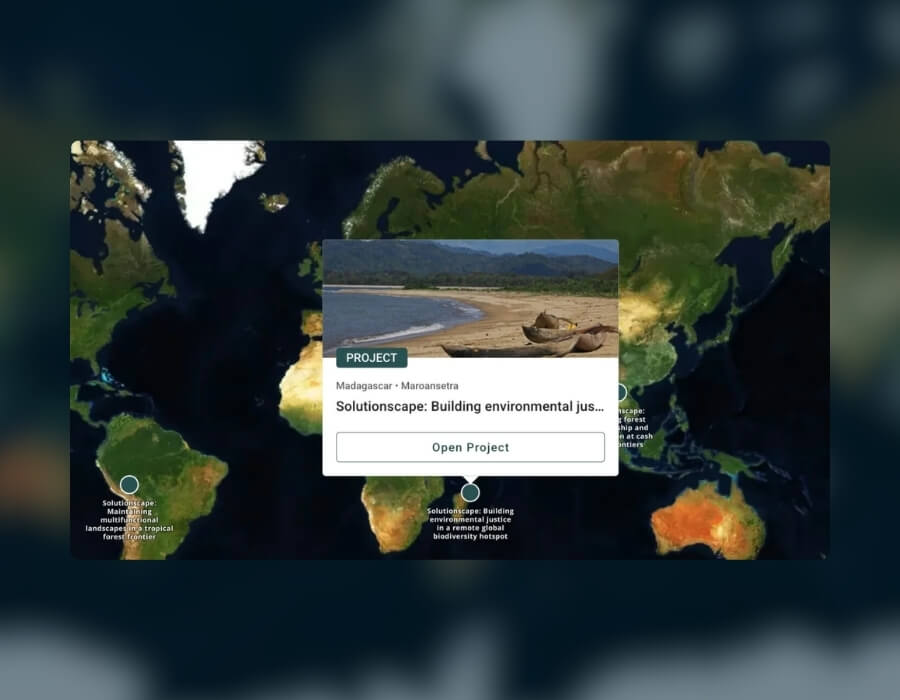
The solution was a custom embedded explorer.land map designed specifically for the Wyss Academy’s annual report 2025.
Instead of using a generic map embed, the map was adapted to fit the Academy’s website experience, branding, and communication needs.
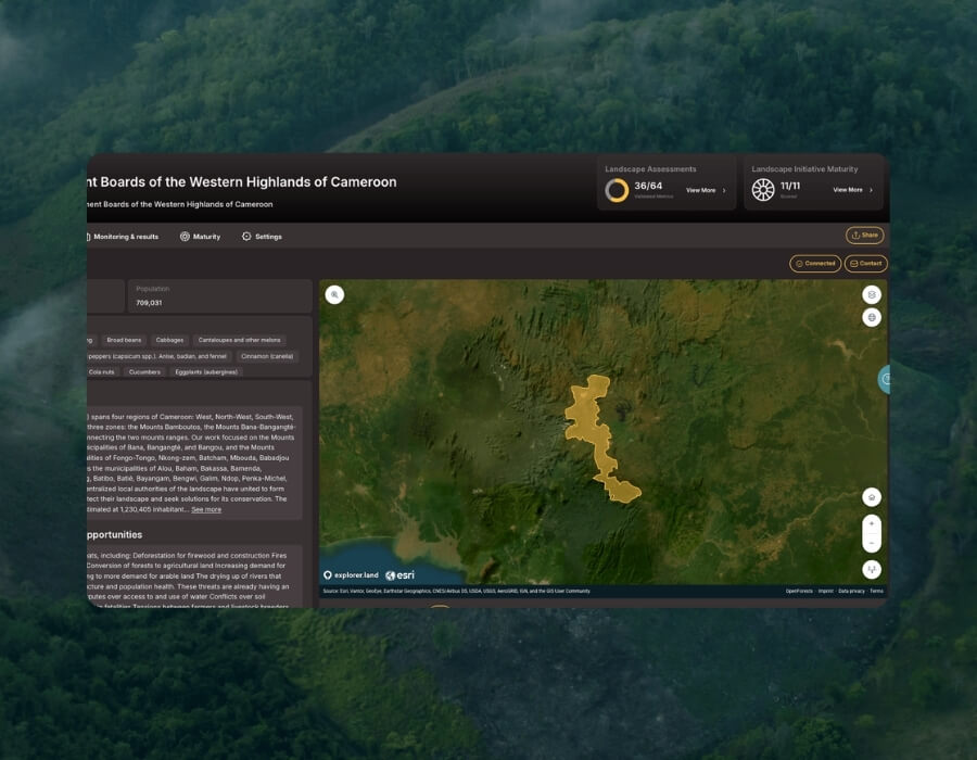
The result is an interactive map that allows readers to explore project locations directly within the annual report, while keeping the visual experience coherent and the user journey simple.
A map experience aligned with Wyss Academy’s brand
The solution was a custom embedded explorer.land map designed specifically for the Wyss Academy’s annual report 2025.
Instead of using a generic map embed, the map was adapted to fit the Academy’s website experience, branding, and communication needs.
The result is an interactive map that allows readers to explore project locations directly within the annual report, while keeping the visual experience coherent and the user journey simple.
Only the map actions readers actually need
The map interface was simplified to avoid unnecessary tools or platform actions.
In the context of an annual report, readers do not need the full explorer.land experience. They need to quickly understand where projects are located, open a project card, and move to more information when relevant.
By keeping only the useful actions, the embedded map becomes easier to navigate and more aligned with the purpose of the page.

Project cards connected to Wyss Academy pages
Each project card on the map can guide readers to the corresponding solutionscape page on the Wyss Academy website.
This creates a seamless journey: readers discover a location on the map, open the project card, and continue reading within the Wyss Academy’s own website.
The result is a map that does more than show locations. It supports the Academy’s content structure, keeps traffic within its digital ecosystem, and helps readers move from spatial overview to project detail without friction.

A smooth way to explore Wyss Academy projects inside the annual report
The custom embedded map gives the Wyss Academy for Nature a more seamless way to present project locations directly within its own website and annual report experience.
Instead of sending readers to an external map or separate platform, the map supports the Academy’s existing communication flow.
Readers can explore selected project locations, open clean project cards, and continue to the relevant Wyss Academy project pages without leaving the website environment.
[A short quote from the client, one or two sentences.]
[Name] · [Role] · [Organisation]
Branded map inside the report
Readers explore project locations on a map styled to match the Wyss Academy, without leaving its website.
A simpler journey
Only the essential map actions remain, so readers move from story to location to project detail in a few steps.
Readers stay on the Wyss Academy’s website
Each project card links to the matching solutionscape page, so traffic stays within the Wyss Academy’s own website.
Bring interactive maps into your own website
Many organisations want to show where their work takes place, but an external map link takes readers away from their story and their brand. A custom embedded map adds that spatial context directly to the pages they already publish.
- publish an annual report, impact report or campaign page and want readers to see where your projects are
- need the map to match your own branding, not a third-party platform
- already have project pages and want the map to lead readers to them
Do your readers have to leave your website to see where your projects are?
OpenForests helps restoration and conservation organisations map, monitor and report their work.