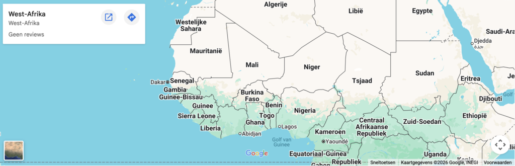
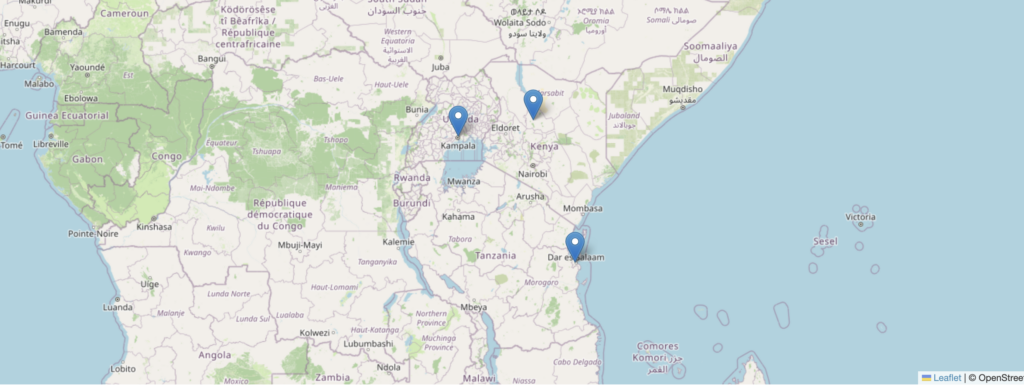
A static image can't show what your project actually does.
No project footprint: visitors can't see the project boundaries and what happens within.
No data: tree cover, deforestation, soil carbon: none of it shows up in a static image
Nothing to verify: no zoom, no layers, no change over time. Just a picture asking for trust.
An embedded map gives visitors direct access to the evidence.
EXPLORER.LAND
What an interactive map shows
Project boundaries
The project’s area drawn as a polygon, giving a clear sense of its real footprint of action rather than a single point on a map.
Timeline
A satellite view across years, giving visitors a way to see how the land has changed over time rather than a single fixed snapshot.
Tree Cover, Deforestation
Independent data layers over the project area, giving claims real backing rather than figures a visitor simply has to trust.
Geo-located field photos and updates
Photos and updates pinned to their exact location, giving the work on the ground a tangible place rather than a story told from a distance.
HOW IT WORKS
Copy one line of code. Paste it into your website.
It works the same way as embedding a YouTube video. No developer needed. Compatible with WordPress, Webflow, Squarespace, or any CMS that accepts HTML.
The map updates automatically as you add data in explorer.land. No manual maintenance.
Yes. It's an iframe — paste it into any page, post or block. Works the same on Webflow, Squarespace or plain HTML.
Do I need a developer?
No. You copy the code from your project settings and paste it. Nothing to build.
Can I embed one project or multiple?
Both. One project in detail, all your projects on a single organisation map, or multiple organisations on a network or alliance map.
Can the embed be customised?
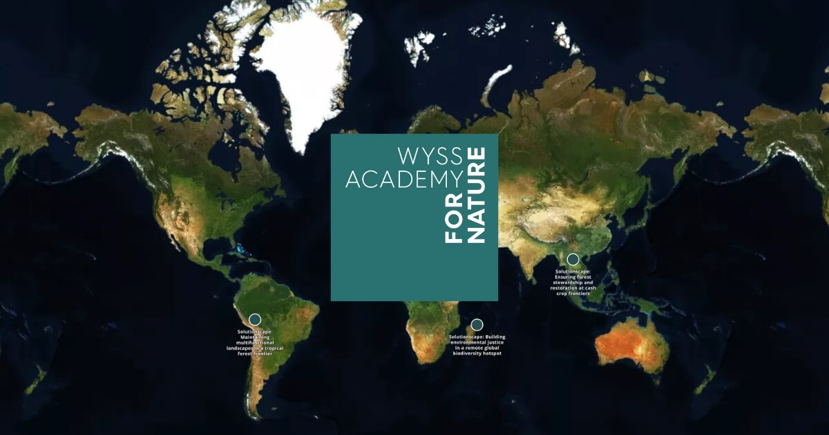
Yes. Which data layers are visible, which tabs appear, layout and colours — all of it can be configured. For more specific needs, our team can work with you directly. See the Wyss Academy case study for an example.
Will the map stay up to date?
Yes — the embed reflects your live project. Updates you make on explorer.land appear on your site automatically.
Which plan includes embedding?
It's free. All projects on explorer.land can embed their map.