Connecting restoration data, partner information and public communication with WeForest
How OpenForests supported WeForest in bringing project locations, monitoring information and sponsorship data into one connected system.
CLIENT
WeForest
SCOPE
Project transparency and corporate engagement
SOLUTIONS
Sponsor management – API – Map
projects mapped
0
Corporate sponsors
0
Countries
0
THE CLIENT
WeForest: restoring forests and landscapes with local communities
WeForest is a nonprofit organisation working to restore and conserve forests and degraded landscapes. Its projects are implemented with local communities and aim to generate long-term benefits for people, nature and climate.
As its portfolio and network of partners grew, WeForest needed a clearer way to organise and share information about where its projects were located, what was happening on the ground and how individual partners contributed to the work.
THE CHALLENGE
Connecting project, monitoring and sponsorship data
Project information was distributed across different systems and formats.
Field and location data were managed separately from partner information stored in Salesforce. Project updates were often communicated through manually prepared reports, making it difficult to maintain a consistent and up-to-date view across projects.
WeForest wanted to make this information easier to access while remaining in control of which data could be shared publicly and which information should remain restricted.
The system therefore needed to:
-> present projects and their geographic boundaries in context
-> connect sponsorship information with the relevant projects
-> reduce duplication between internal systems and external reporting
-> provide different views for the public, funders and project partners
OUR APPROACH
A connected system for project information and communication
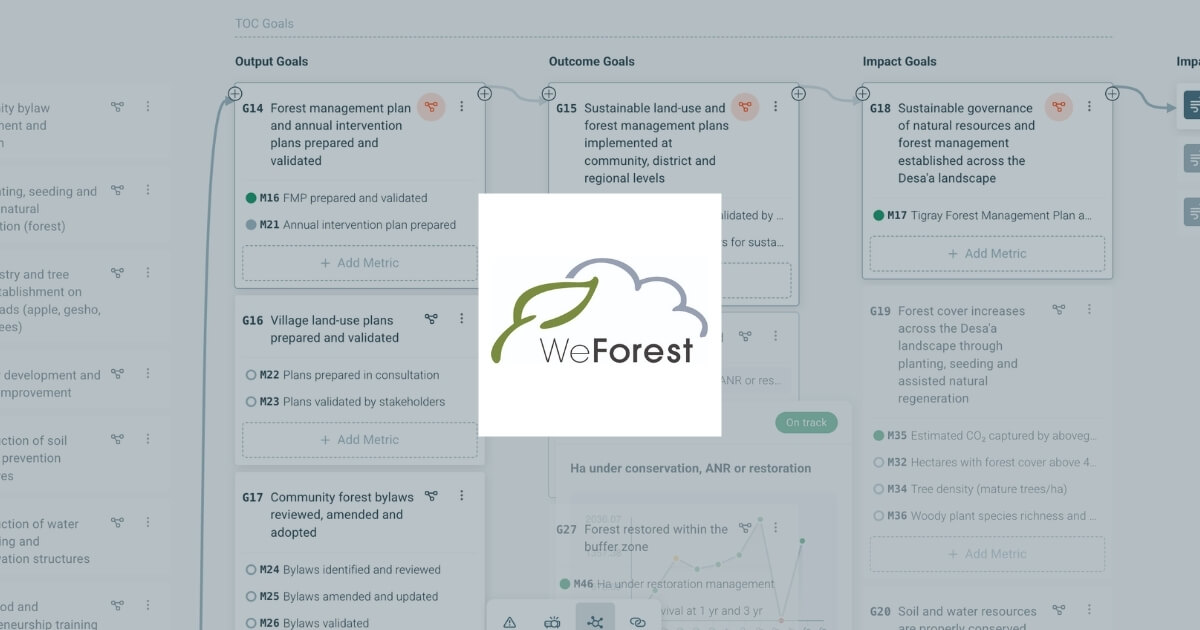
OpenForests worked with WeForest to connect its project maps, monitoring information, website and partner data.
01
Public interactive map
WeForest’s projects are presented through explorer.land’s interactive map that allows visitors to explore their locations, boundaries, photographs and selected project information.
Only information intended for public communication is displayed, while more sensitive data can remain private.
Visitors can explore the geographic context of a project and access relevant information without leaving the organisation’s own website. This creates a closer connection between the project description, its location and the activities taking place on the ground.
03
Salesforce API integration
A custom API connection links sponsorship information in Salesforce with the corresponding projects on the map.
Rather than maintaining the same information manually in multiple places, updates can be transferred between the systems. This helps keep project and partner information aligned and reduces repetitive administrative work.
04
Dedicated views for project partners
Selected partners can access tailored views of the projects they support.
These views bring together project locations, selected monitoring information and relevant impact themes. They can be used during partner communication and reporting while keeping the information connected to the underlying project data.
THE RESULTS
Project information is easier to access and maintain
The system provides WeForest with a shared structure for organising project, geographic and sponsorship information.
More consistent information
Connecting the map with existing systems reduces the need to update the same information separately across several channels.
Clearer geographic context
Partners and website visitors can see where projects are located and explore project boundaries, images and updates in their spatial context.
More flexible communication
Public maps, embedded project views and partner-specific pages allow WeForest to communicate with different audiences while controlling the level of information each audience can access.
"You look at the map and can see the particular polygon that your company have helped restore. That visual sense of the project is really important."
Dave Bircher, former Director of Growth at WeForest
RELEVANCE FOR OTHER ORGANISATIONS
Connecting project portfolios with partner reporting
Organisations managing several restoration or conservation projects often work with information distributed across mapping tools, monitoring datasets, CRM platforms and reports.
A connected system can help bring these sources together without requiring an organisation to replace all of its existing tools.
Bring your project information into one connected structure
OpenForests supports organisations in designing and developing systems that connect project locations, monitoring information, internal tools and external communication.