Drone-based forest conservation monitoring

Category
Monitoring, Drone
Country
Worldwide
Date
2016
Client
GIZ-Peru
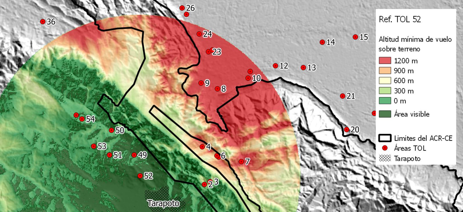
Efficient drone-based mapping of large conservation areas

Combining satellite with drone-based remote sensing for Monitoring of conservation areas of San Martín department in Peru


This feasibility study has been carried out in the San Martín department in Peru, a territory of about 150.000 hectares of very steep terrain. The goal of the study was to evaluation the use of Unmanned Aerial Vehicles (Drones) as a tool for the monitoring of the conservation state of the Regional Conservation Area Cordillera Escalera.

Using drone technology in combining with satellite based remotesensing is most promising for continuous monitoring of large scale forest areas.

Dr. Patrick Ribeiro
CEO and Founder OpenForests
Contact us

Ready to get started?

Write us a message or speak with one of our experts.