Efficient drone-based mapping of large conservation areas

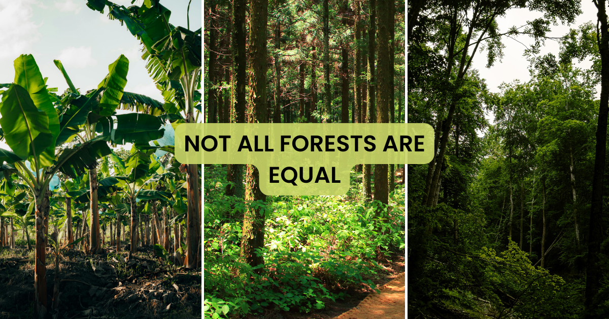
This feasibility study has been carried out in the San Martín department in Peru, a territory of about 150.000 hectares of very steep terrain. The goal of the study was to evaluation the use of Unmanned Aerial Vehicles (Drones) as a tool for the monitoring of the conservation state of the Regional Conservation Area Cordillera Escalera.

Using drone technology in combining with satellite based remotesensing is most promising for continuous monitoring of large scale forest areas. – Dr. Patrick Ribeiro, CEO and Founder OpenForests

About the author

Picture of Alexander Watson
Alexander Watson
Co-Founder and CEO, OpenForests. Passionate about finding answers to the burning questions of our time. Driven by the mission to create tools that help reconnect people and nature.
Table of Contents
More inspiration
Podcast Beyond the Canopy with Marie-Noëlle Keijzer - Forests: Reasons to be Hopeful

Forests: reasons to be hopeful with Marie-Noëlle Keijzer

Intro What does it really take to restore ecosystems at scale, beyond planting trees? In this episode of Beyond the Canopy, we sit down with Marie-Noëlle Keijzer, CEO of WeForest, to talk honestly about the realities of ecosystem restoration. From

Dead trees for healthy forests and ecosystems

You have surely seen dead trees during your walks in the forest and may have asked yourself why it is left there? Isn’t a forest with a well-cleared undergrowth preferable? For generations, people have considered dead trees to be something

Subscribe to our newsletter

Receive the latest posts directly in your mailbox, once a month.