Forest Management Maps

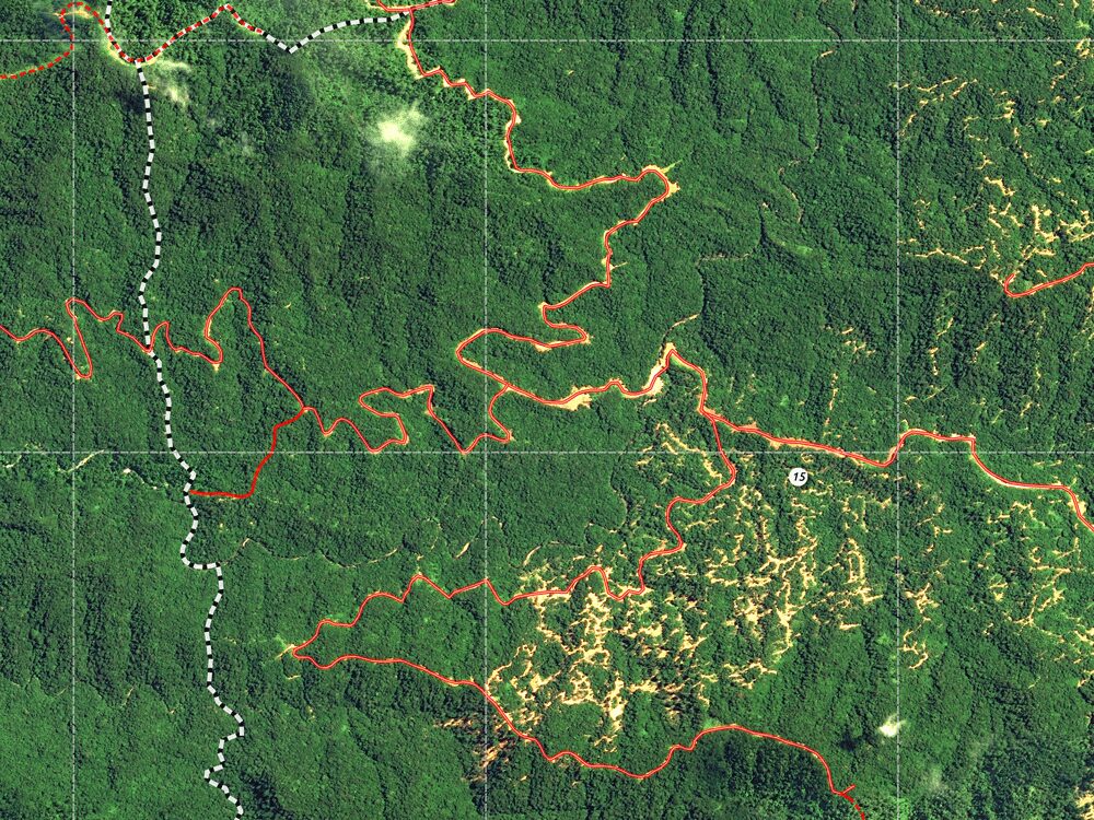
Large-scale land assessments require scalable and cost-effective solutions. Satellite and application of smart algorithms have made such analysis more accessible.

A project site is analyzed for various reasons. The base map provides an overview of the natural conditions, the topographic map is used to analyze the terrain for access planning, a slope steepness map identifies sites that are not accessible for forest management activities, and the degradation map might appoint sites for regeneration.

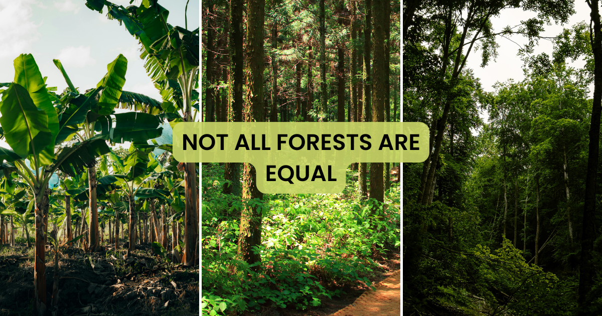
The first step is to get the big picture of your forest operations or conservation projects. Details follow after initial analysis. – Stefan Haas, CEO Co-Founder, OpenForests

Deforestation Analysis

Deforestation analysis

Slope Analysis

Slope Analysis

Topography

Topography

Satellite Imagery

Satellite

About the author

Picture of Alexander Watson
Alexander Watson
Co-Founder and CEO, OpenForests. Passionate about finding answers to the burning questions of our time. Driven by the mission to create tools that help reconnect people and nature.
Table of Contents
More inspiration
wetlands definition

Wetlands explained: why they matter so much

What are wetlands? Wetlands are areas of land that are permanently or seasonally flooded. They vary in size and form and change with the seasons and over time.  Wetlands include a wide range of natural and human-made habitats. They can

Podcast Beyond the Canopy with Marie-Noëlle Keijzer - Forests: Reasons to be Hopeful

Forests: reasons to be hopeful with Marie-Noëlle Keijzer

Intro What does it really take to restore ecosystems at scale, beyond planting trees? In this episode of Beyond the Canopy, we sit down with Marie-Noëlle Keijzer, CEO of WeForest, to talk honestly about the realities of ecosystem restoration. From

Subscribe to our newsletter

Receive the latest posts directly in your mailbox, once a month.