OpenForests in Mongabay

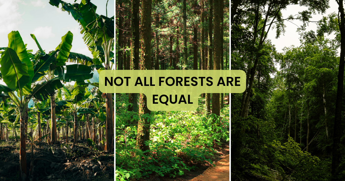
Information-based solutions for forest conservation projects

To the article

Forest monitoring has experienced a revolution in recent years, with vast improvements in satellite sensors, the emergence of drones, and growing ubiquity of on-the-ground technologies like smartphones and camera traps. These developments have made it easier and less costly to map forests, track reforestation and forest regeneration, and detect deforestation and degradation. But many conservationists and foresters continue to struggle with aspects of forest management, whether it’s translating data into actionable information or communicating the results of their work.

To help address this situation, in 2011 Alexander Watson, Stefan Haas, and Patrick Ribeiro founded OpenForests, which provides forest managers with a set of tools to improve data collection, processing, and analysis. OpenForests is now working with projects on five continents, ranging from forest inventorying to conservation projecting.

OpenForests CEO Watson spoke with Mongabay.com ahead of his appearance at the Global Landscape Forum in Bonn, Germany where he is presenting Sunday, 2 December 2018 from 09:00-10:30.

About the author

Picture of Alexander Watson

Alexander Watson

Co-Founder and CEO, OpenForests. Passionate about finding answers to the burning questions of our time. Driven by the mission to create tools that help reconnect people and nature.
Table of Contents

More inspiration

Biodiversity Monitoring - Biometrio

OpenForests partners with biometrio.earth

Biodiversity monitoring for NbS projects OpenForests is excited to partner with biometrio.earth, to integrate advanced biodiversity data into explorer.land, the transparency hub for nature restoration. This collaboration will strengthen the ability of nature restoration projects to transparently track, monitor, and

OpenForests founders of explorer.land

OpenForests, proud founders of explorer.land

We launched explorer.land in 2018 with a big dream: to make nature restoration projects visible, tangible, and trustworthy through an interactive map. To basically create the “Google Maps” of Nature Restoration. To give organizations a stage and build trust through

Subscribe to our newsletter

Receive the latest posts directly in your mailbox, once a month.