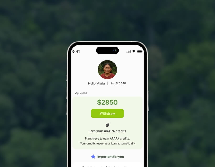
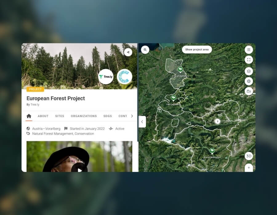
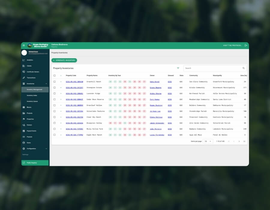
A digital registry and map interface for GESG’s Carbono Biodiverso programme, making carbon offsets, landowner payments, and project areas easier to trace and verify.
Discover how Callirius uses OpenForests' explorer.land to make forest carbon projects more transparent through interactive maps, satellite imagery and field updates.
 Book a call