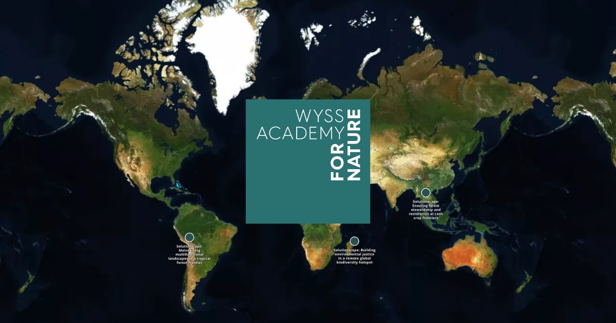
How a custom embedded explorer.land map helps the Wyss Academy for Nature show project locations inside its annual report, while keeping readers within its own branded website experience.
How OpenForests supported WBCSD and OP2B in building an interactive map for regenerative agriculture, restoration, conservation, and nature-based solutions
How Hommes & Terre uses explorer.land to make community-led restoration visible to funders through interactive maps, geolocated field updates, and a living record of progress on the ground.
How OpenForests helped WWF turn fragmented project data into a single, real-time platform where every corporate funder can see exactly where their money goes and what it achieves.
A digital registry and map interface for GESG’s Carbono Biodiverso programme, making carbon credits, landowner payments, and project areas easier to trace and verify.